
After landing in Bishop on Sunday night, we hoped to cross the Sierra Nevada Mountains at Tioga Pass, cross the Central Valley, and fly home to Reid Hillview Airport in San Jose, California.
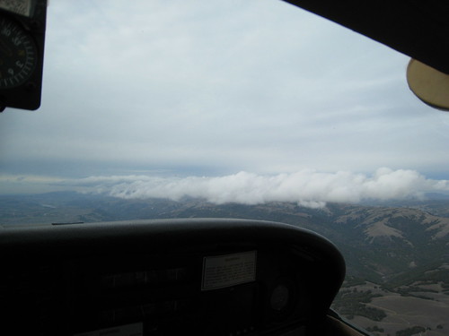
But as with other legs on this trip, Mother Nature had other plans for us. There was a good wind coming over the Sierras that cause some mountain wave turbulence and low clouds. So we decided to head south down the Owens Valley toward Mojave, California where we could cross the Tehachapi Pass into the Central Valley and fly home.
But looking along the southern Sierras, we noticed a fair amount of cloud cover and started to become skeptical. But a quick call to Flight Watch near Lone Pine told us that conditions are Mojave were good and Bakersfield was cloudy and rainy, but ceilings were high enough that we should be able to make it.
Sure enough, that turned out to be the case. We crossed the pass easily and then the real adventure began. We had to fly the central valley with scattered rain, low visibility, and lowering cloud bases.
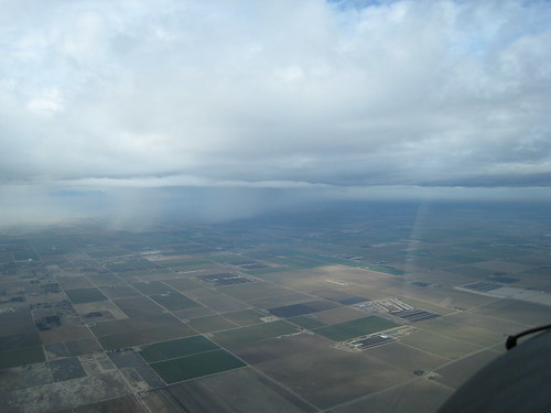
Sometimes the wall of rain was only a few miles away and heading our way.
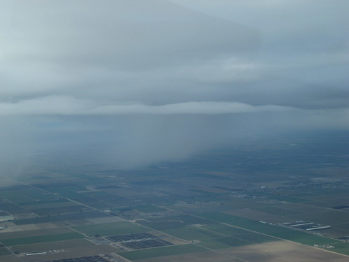
And then we had to descend a few times to keep from running into clouds.
At one point were were only about 20 miles from Los Banos, where we'd hoped to fly the Pacheco Pass through the Diablo Range so that we could make South County and eventually back to Reid Hillview.
The trouble is that visibility got so poor that we had to turn back short of Los Banos and land at the little Mendota airport. We hung out there for about an hour and a half while waiting for the weather to clear up in our direction of flight.
There's not much to see at the Mendota airport other than an old abandoned sky dive operation. So I pulled out my laptop and watched the satellite weather for a bit. Eventually it cleared up, so we took off on runway 15 and turned northwest for another attempt.
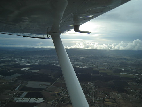
This time we were able to climb quite a bit higher (3,000 feet), listen to the AWOS at Los Banos, and call flight watch to get conditions at Livermore and San Jose. Conditions at all three were decent, so we continued on despite what looked like poor visibility ahead.
Much to our surprised, everything cleared up nicely after another 15-20 miles, and we easily made it through the pass and on our way home.
Before I knew it, we were back on the ground at Reid Hillview.
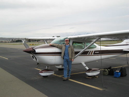
Mission Accomplished!
In the next few days, I hope to stich together the GPS traces and geotag all the photos.
Previously:
- Flying Cessna 182 N601SF from Michigan to California
- Flight Report: Sturgis, MI to Lebanon, MS to Texarkana, AR
- Made it to Midland, Texas
- Flight Report: Midland, Texas to Flagstaff, Arizona and Bishop, California
Posted by jzawodn at December 20, 2007 07:45 AM | edit
When I was flying sail planes out of Truckee one of my best flights was down to Bishop and back.
If you haven't tried silent flight and you love the view from up there, give it a try. The Truckee Minden and sierra range have to rank in anybodies top 10 places to soar.
I actually was about 10 miles short on the Whites (mountains) and some vicious sink got my attention pretty good so I turned around. When conditions are good this flight is possible and has been done by many sail plane pilots.
Fly safe in 2008.
What's the old adage - there is nothing more useless than the runway behind you and the altitude above you.